I've been wanting climb Kings Peak for some time. I just hadn't had the opportunity to do it. For those who may not know, Kings Peak is the highest point in Utah with an elevation of 13528 feet. Last night at about 9:30 I made the decision to go today. I packed up all my stuff, all ready to leave really early. I wanted to be on the trail by the time it got light. I actually got there a little earlier than planned. Since it was still dark, and not wanting to venture onto an unknown trail in the dark, I took a little nap in the car before heading out. I set my alarm to get me up.
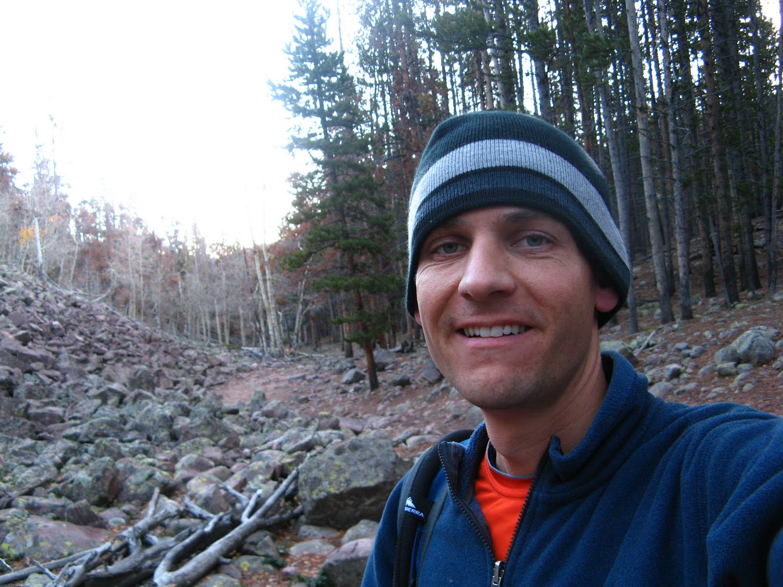
Here is a picture of me trying to get the courage to get out of my car. The outside air temperature was 19 degrees, really cold! I did get out of the car, and once I got moving wasn't too bad.
 Here I am signing my name on the trail register.
This is just a short way up the trail.
 The sun started to shine through the trees and I thought it looked cool. The photo doesn't look as cool though as it really did.
 The sun started to shine through the trees and I thought it looked cool. The photo doesn't look as cool though as it really did.
 And this is my destination. The one in the middle with the sun shining on it. That is Kings Peak. I was a little surprised to see all that snow on it. I knew it had snowed last week, but I figured it would have all melted. It doesn't get warm enough up there to do much melting, so there is snow. I started to wonder if I'd be able to make it all the way up. There couldn't be that much snow, could there?
 About four or five miles up the trail I cam across this thing. If you know what it is, please let me know. My best guess is some weather thing. It looks like maybe a UFO landed and planted it there to run some tests.
 This is from Henry's Fork Basin looking up at the ridge and you can see Kings Peak there behind the ridge.
 Kings Peak looks pretty cool from this angle.
 Here I am posing with the sign. Right above where my hand is, you can see the ridge that I climb over. It is Gunsight Pass.
 And this is a close up of it as I am climbing up. From there it is about three miles or so to the top.
 This is Kings Peak. See, it looks better from the other side. From here there was not much of a trail. It was pretty much just climbing up over the rocks.
  This is a view from the top of Utah. Here we are looking North into Wyoming. The valley right below is Henry's Fork Basin and it is where I hiked/ran up through.
 This view is looking towards the west. These view were definitely worth the trek.
 And on the left here you can see South Kings Peak. This is looking Southward and slightly west. Somewhere down there is Moon Lake. I don't think it is actually visible because of other mountains that get in the way.
 And here I am at the top. Proof that I was on the top of Kings Peak.
 And another one of me. The Peak on the right of the photo is South Kings Peak. It is only about 25 feet lower in elevation than the north peak. In fact, until 1966 the south peak was believed to be the highest point in Utah.
  I saw several of these zebra like rocks and had to take a picture. I thought my kids would get a kick out of it.
 And here I am back at the trailhead.
 I don't know why I took a photo like this, but here it is.
 So, in all it took me about four hours to get up and three hours and fifteen minutes to get down, seven hours and fifteen minutes total. The mileage was about 28 round trip. And I think the elevation gain is about 5000 feet. Overall this was a very nice, runnable trail. I really liked it. It wasn't until I got up to Gunsight pass and started getting into the snow, that I had to slow down.
 I got up this morning at 3:00 am, got on the trail about 7:45 am, got back to the car about 3:00, got back home about 6:30, and it is now nearly midnight. What the heck am I still doing awake?!? I hope the kids sleep in tomorrow. I'm taking the day off of running tomorrow. I need a break after a 28 miler.